Water Quality Monitoring
Tracking Water Quality in York County
The United States Geological Survey (USGS) owns/operates six existing continuous, real-time water discharge and gauge height stations in York County for water quality monitoring. They are located at each at the mouths of Conewago Creek, Codorus Creek, and Muddy Creek, as well as Fishing Creek (near Goldsboro), Kreutz Creek (near Wrightsville), and Fishing Creek (near Craley). These stations were updated to add continuous, real-time water quality monitoring for the indicator parameters of temperature, specific conductance, dissolved oxygen, pH, and turbidity. Additionally, all six stations have continuous, real-time water quality sensors to measure nitrogen and phosphorous. Below are links to the current monitoring stations installed.
How does a USGS Streamgage Work?
The Importance of USGS Water-Quality Super Gages
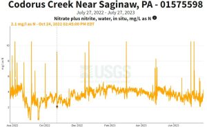
Codorus Creek near Saginaw, PA; USGS Site Number 01575598 (relocated)
NextGen Station Page: LINK
West Conewago Creek near Manchester, PA, USGS Site Number 01574000
NextGen Station Page: LINK
Muddy Creek at Castle Fin, PA; USGS Site Number 01577500 (relocated)
NextGen Station Page: LINK
Fishing Creek at Craley, PA; USGS Site Number 01576045 (new)
NextGen Station Page: LINK
Kreutz Creek at Strickler, PA; USGS Site Number 01576007 (new)
NextGen Station Page: LINK
Fishing Creek at Goldsboro, PA; USGS Site Number 01573660 (new)
NextGen Station Page: LINK