Watersheds
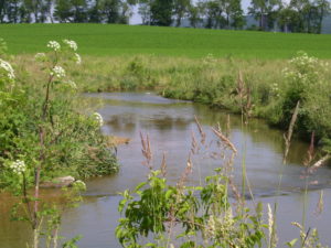
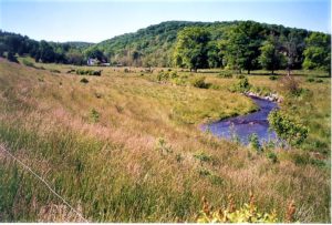
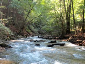
What is a watershed? A watershed is an area of land that drains into a particular stream, lake, or other body of water. Watersheds are sometimes called “basins” or “drainage basins.” We all live in a watershed. Some watersheds, like that of a stream or creek, are small. Others, like the Chesapeake Bay watershed, are large.
The Chesapeake Bay watershed spans more than 64,000 square miles. It encompasses parts of six states—Delaware, Maryland, New York, Pennsylvania, Virginia, and West Virginia—and the entire District of Columbia. More than 18 million people call the Bay watershed home. The Chesapeake Bay is an estuary meaning it is a body of water where fresh and salt water mix. It is the largest of more than 100 estuaries in the United States and third largest in the world. The Bay receives about half its water volume from the Atlantic Ocean in the form of saltwater. The other half (freshwater) drains into the Bay from the enormous 64,000-square-mile watershed. The Susquehanna River is the Bay’s largest tributary, and contributes about half of the Bay’s freshwater. This is why our actions on land have such a big impact on the Bay’s health.
Natural water systems are one of our most valuable resources. Efforts to restore, protect, and maintain the county’s waterways are facilitated by the Conservation District’s Watershed Department. The Watershed Department is a resource to both the public and private sectors, providing technical, informational, and organizational assistance that will improve watershed organization development and the quality and quantity of the Commonwealth’s surface and groundwater resources. The focus of this work relates to watershed assessment and monitoring, procurement of funding, technical assistance, education and outreach, and the creation, implementation and coordination of work plans and strategies to restore and protect groundwater and surface water resources.
York County Watersheds
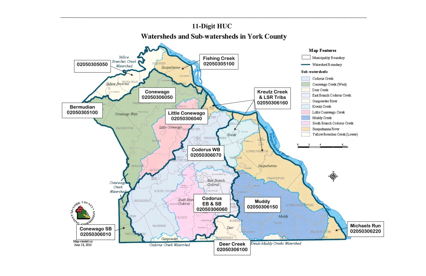
Codorus
- 161 square miles, 258 miles of streams
- 148,000+ people live here
- 44% agriculture, 28% residential
Conewago West
- 180 sq. miles, 377 miles of streams
- 55,000+ people live here
- 64% agriculture,23% residential
Deer Creek
- 26 sq. miles, 44 miles of stream
- 11,000 people live here
- 69% agriculture, 21% residential
East Branch Codorus Creek
- 45 sq. miles, 82 miles of streams
- 20,000+ people live here
- 61% agriculture, 27% residential
Gunpowder
- 11 sq. miles, 19 miles of streams
- 4,000+ people live here
- 69% agriculture, 21% residential
Kreutz
- 35 sq. miles, 63 miles of streams
- 23,000+ people live here
- 47% agriculture, 37% residential
Little Conewago Creek West
- 66 sq. miles, 140 miles of streams
- 49,000+ people live here
- 50% agriculture, 31% residential
Muddy
- 137 sq. miles, 267 miles of streams
- 25,000+ people live here
- 82% agriculture, 14% residential
South Branch Codorus Creek
- 73 square miles, 118 miles of streams
- 18,000+ people live here
- 78% residential, 17% residential
Susquehanna
- 138 sq. miles, 288 miles of streams
- 50,000+ people
- 64% agriculture, 19% residential
Yellow Breeches
- 43 sq. miles, 103 miles of streams
- 20,000+ people live here
- 54% agriculture, 33% residential
York Countywide Action Plan (CAP)
The York Countywide Action Plan for Clean Water (CAP) was developed in 2019 through a collaborative effort of the York County Planning Commission (YCPC), York County Conservation District (YCCD), and the York County Coalition for Clean Waters (YCC4CW). The CAP identifies three Priority Initiatives for York County to make progress improving water quality as it relates to Chesapeake Bay Total Maximum Daily Load (TMDL) goals. Within each Priority Initiative are clear Actions that must be implemented for York County to meet the goal of reducing Nitrogen loading by 4 million pounds from our streams and waterways. This would reduce our current estimated loading from 11.9 million pounds to 7.9 million pounds. York County has met its Phosphorous reduction goal, and there is not a Bay goal for Sediment, so Nitrogen is the pollutant of concern and the focus of the Actions in this Plan.
To entire plan can be viewed here.